Aerial data intelligence
High-precision aerial intelligence that helps organisations make faster, safer and better-informed decisions.
- Category
- Aerial data intelligence
- Built with
- Next.js, Payload CMS, Tailwind CSS · detected on the live site
- Hosting
- Vercel · detected on the live site
(01) The brief in one line
Drone survey work, explained to the people who buy it, with a short path to starting a project.
A The company
UAVOps collects and processes aerial data for organisations across Africa: research, forestry, mining, agriculture, oil and gas, energy, construction and surveying.
Clients receive working files: orthomosaics, NDVI layers, terrain models and 3D visualisations.
B The site
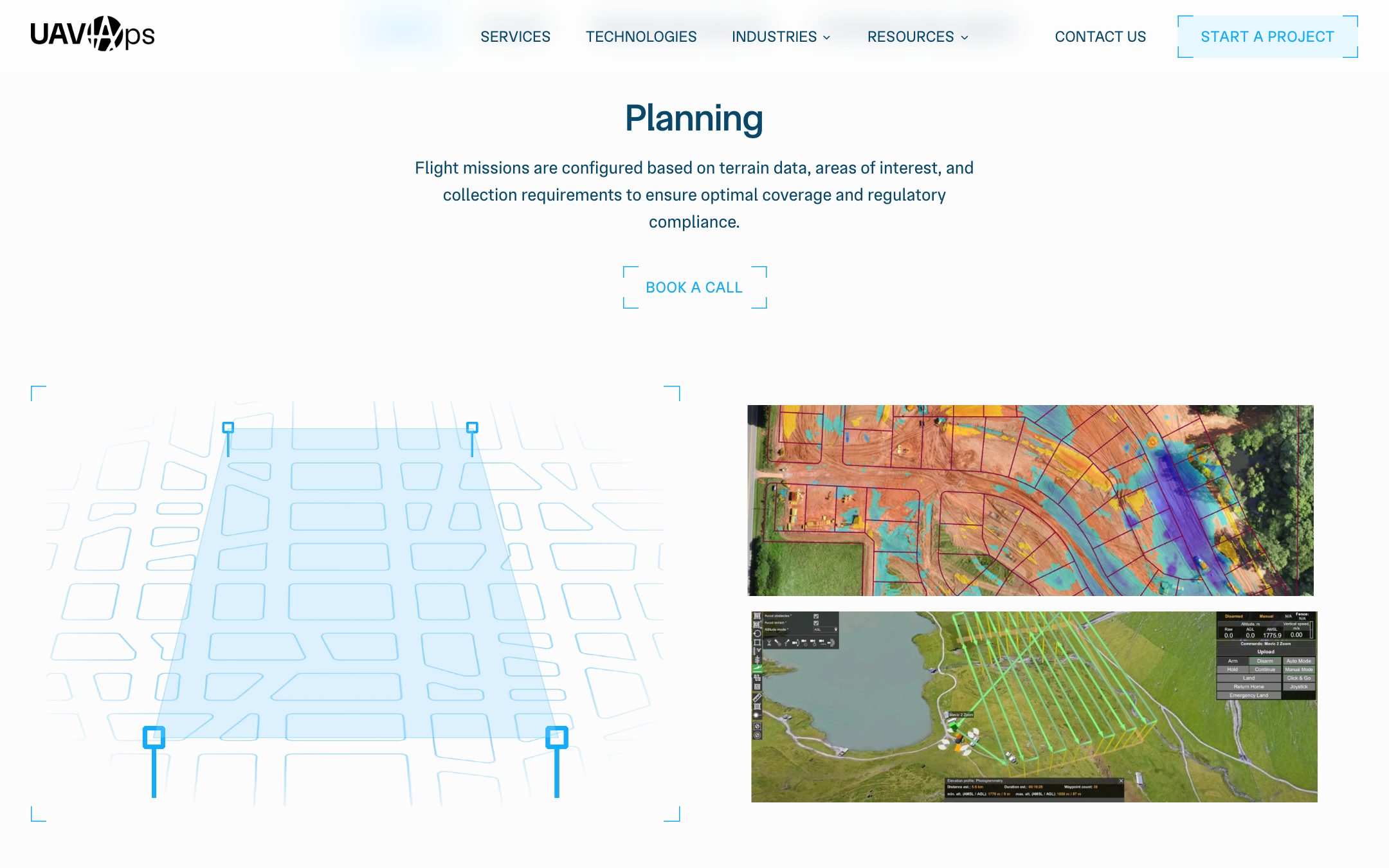
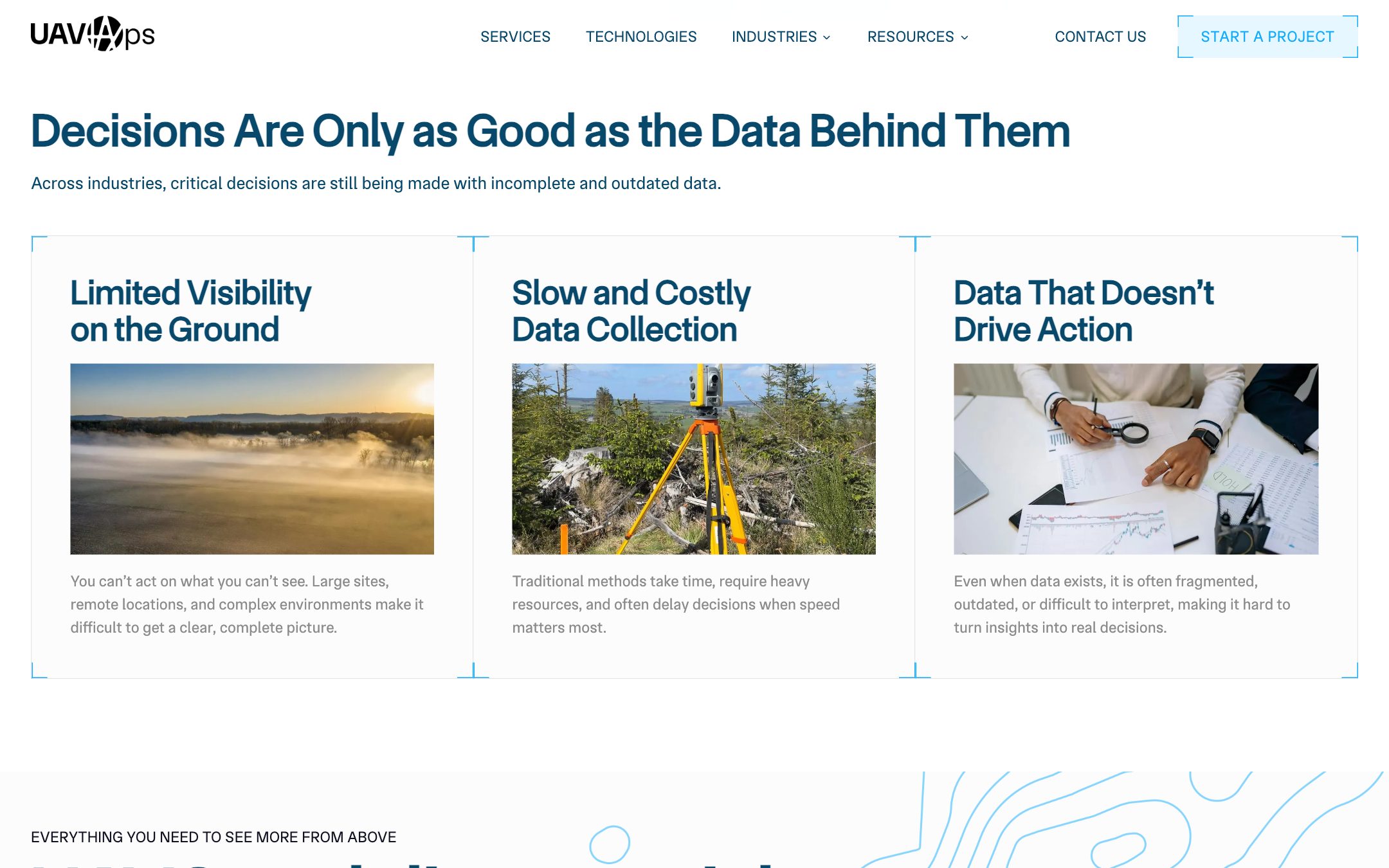
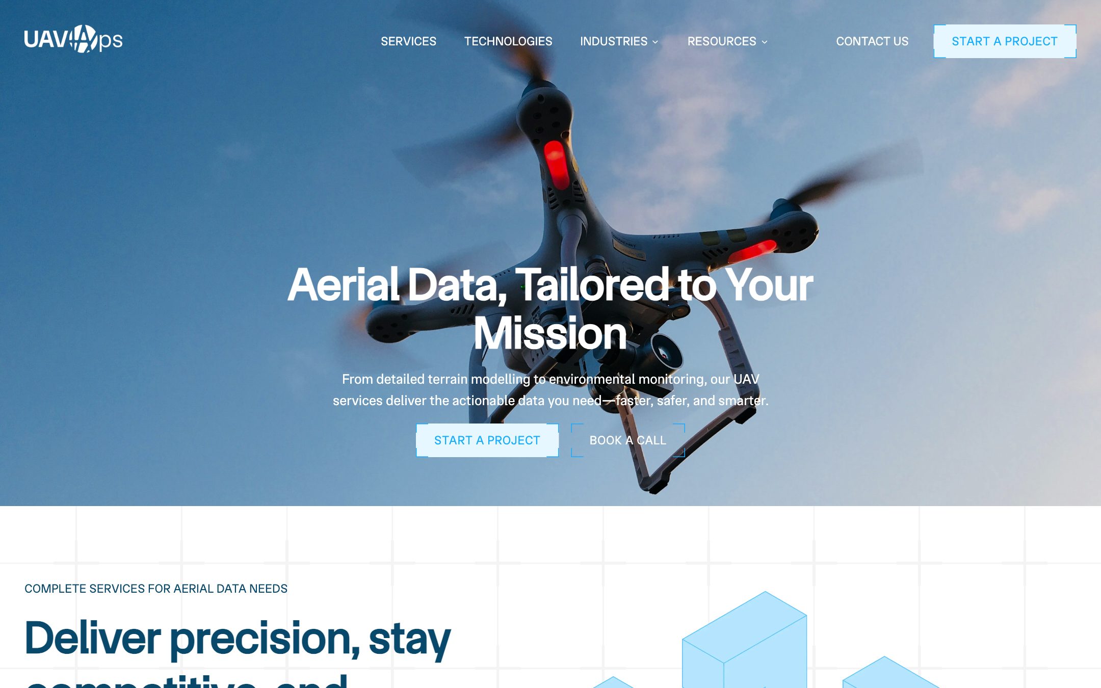
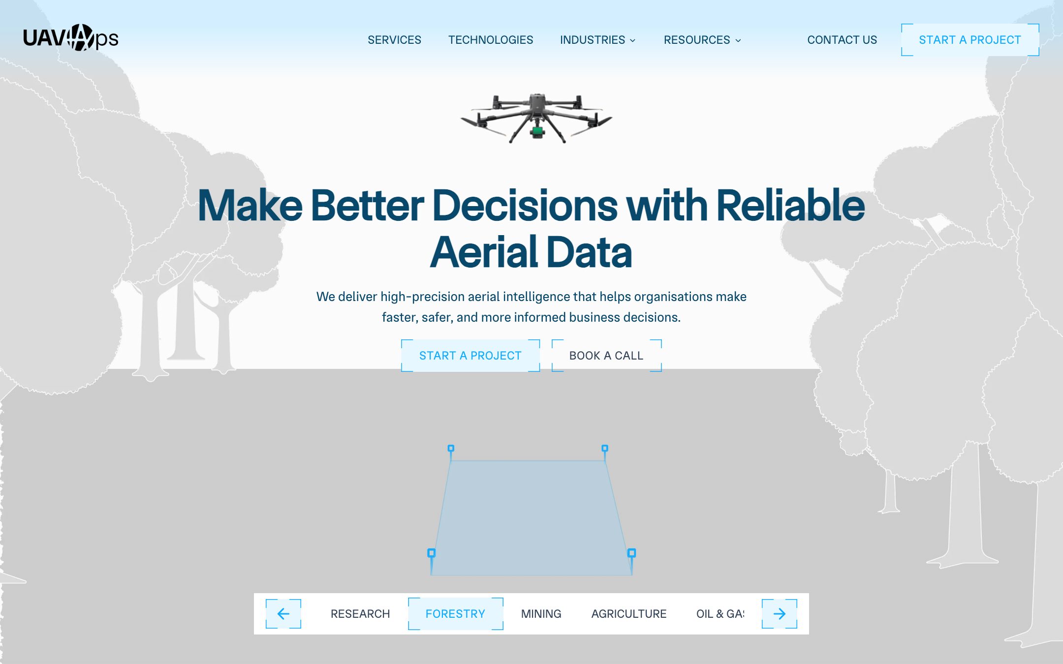
The homepage opens on an industry switcher, names the problem (incomplete, outdated data), then sets out the method: plan, collect, process and analyse, act.
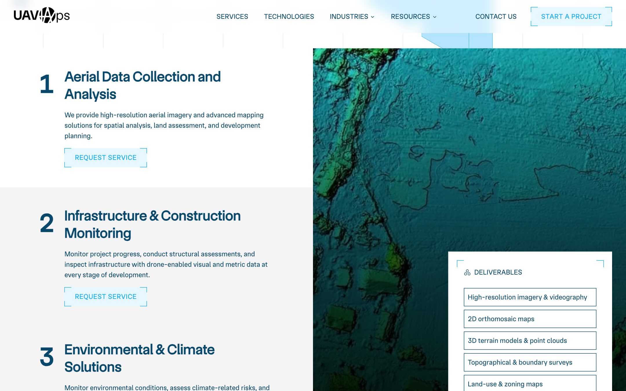
The services page lists each service line with its deliverables and a Request service button.
C Getting started
- 01Request. A multi-step project form: contact, industry, then scope, dates, site and outputs.
- 02Talk. Book a call opens a 30-minute Calendly slot.
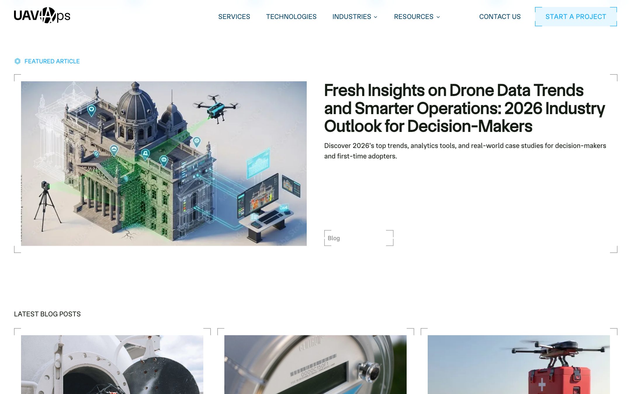
- 03Read. A resources library of news, guides and case studies, filterable by type.
(02) Every screen
The same switcher, on a phone.
Desktop 1440
Mobile 390

(03) On the site
Every service, one request form.
Industry switcher
Tabs under the hero move between eight industries, from research to surveying.
Plan, collect, process, act
The method step by step, with mission-planning and processed-map imagery.
Deliverables per service
Each service line lists what the client gets, from orthomosaic maps to boundary surveys.
Content in Payload
News, guides and case studies are published from the CMS into one resources library.
(04) The site
Problem, method, services.
Five screens
from uavops.vercel.app